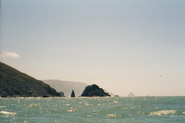
Finally I had a rock garden to paddle through again around False Cape. The water between the cape and a large offshore rock was churned a pale milky green. I worked my way between a minefield of submerged rocks with some strange problems controlling my boat. It turned out that the afternoon winds I had been expecting every day had finally arrived and was channeled between the cape and the rock. The boat I was using this week, a Coaster by Mariner, is supposed to track well in any wind but I had this one heavily loaded and it wanted to turn sideways to the wind.
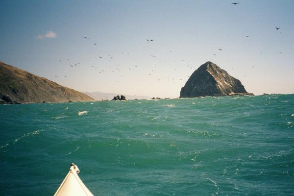
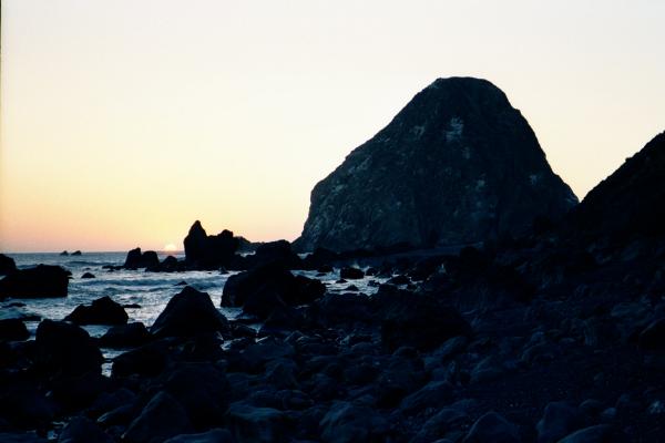
Behind False Cape there is a beach where I considered camping so I landed to look around. The wind was picking up and was miserable everywhere except up a steep narrow valley that didn't have any good flat tent spots. I had talked to Sid Taylor the night before by phone and he recommended going around Cape Mendocino and camping at the protected beach there. Despite the wind I proceeded. (The weather radio had forecast small craft advisory for today and tomorrow). The wind continued to impair control of the boat unless I paddled straight away from it. So I went far out to set myself up for a straight shot downwind behind Sugarloaf Island off Cape Mendocino. I had forgoten to ask Sid if he went inside or outside the island when he was in this neighborhood. The waves were large heading in but they broke over submerged rocks and helped me plot my course. As I got closer to the gap the waves got smaller and choppier as the water turned the angry milky green color.
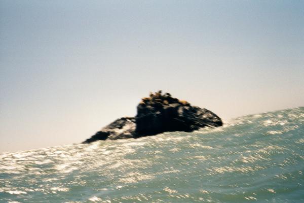
Directly behind the island the water was doing a strange thing (which usually means trouble). There was this zipper of breaking water running from the island half way back to shore. The waves seemed to break straight up into the air. Was it just a wave wrapping around the island? Or a shallow spit behind the island? Turns out it was the latter, a spit covered with small jagged rocks. I steered past the end of the spit and planned on weaving my way through a closely spaced rock garden. To my left was a rocky beach covered with a HUGE colony of California sea lions. I had visions of trying to land a damaged boat there and being driven back into the water by angry bull sea lions.
As I came directly behind the island something grabbed my boat and surfed it in an arc to the right. At first I thought it was a wave, but it could have been a sudden large gust of wind roaring between the shore and the island. This wind tore drops of water off the top of every ripple and threw them forward. My boat somehow managed to miss most of the rocks while my paddle banged over them in my desperate brace to stay upright. I ended set up to plow mostly straight into the next zipper wave breaking across the spit. Here I discovered why this breaking wave looked so strange: The wind was blowing the white water up and backwards as it broke.
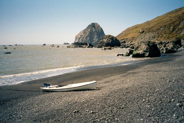
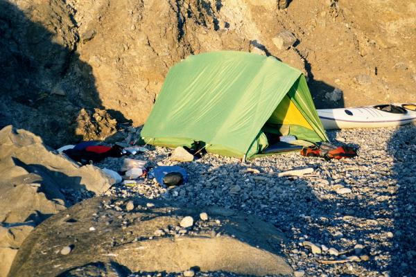
I zoomed out the other side into calmer water and worked my way around to the protected beach. As I passed between rocks I saw a wind surfer go by! But by the time I landed, two wind surfers had landed far up the beach and started carrying their gear towards the nearby Mattole Road. I picked the most protected place I could find to camp out of the wind but playful gusts kept blowing on me all evening.