Humboldt County, Trinidad to Humboldt Bay, August 12th, 2000.
Click on the small image to see the full-sized one.
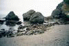
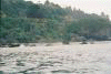
 Low tide made launching the next morning a challenge.
Links to related images: Nearby. Proofs. Map.
Approximate location: 41.0454902648926N / 124.124969482422W.
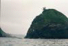
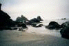
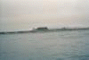
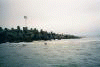
 The last stretch of Moonstone Beach past Little River Rock.
Links to related images: Nearby. Proofs. Map.
Approximate location: 41.0324935913086N / 124.118041992188W.
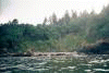
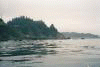
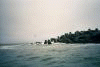
 A long stretch of uninteresting sandy shore.
Links to related images: Nearby. Proofs. Map.
Approximate location: 40.8493995666504N / 124.192375183105W.
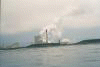
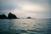
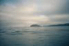
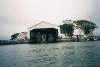
 First the power plant, then finally the jetty appeared.
Links to related images: Nearby. Proofs. Map.
Approximate location: 40.8009452819824N / 124.223442077637W.
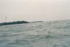
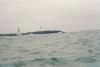 I finally enter the Humboldt Bay Breakwater.
Links to related images: Nearby. Proofs. Map.
Approximate location: 40.7655906677246N / 124.237174987793W.
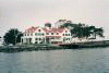
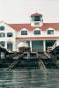 Inside is a beautifully restored Lifeboat Station.
Links to related images: Nearby. Proofs. Map.
Approximate location: 40.766300201416N / 124.217491149902W.
 Inside is a beautifully restored Lifeboat Station.
Links to related images: Nearby. Proofs. Map.
Approximate location: 40.7670555114746N / 124.216789245605W.
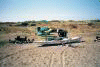 I camped in a campground with RV's, boaters, and dune buggies.
Links to related images: Nearby. Proofs. Map.
Approximate location: 40.7730674743652N / 124.213119506836W.
All text and images Copyright © 2000 by Mike Higgins / contact